
India on Monday, July 13, launched its satellite-based air navigation services, thereby joining a select league comprising the US, Europe Union (EU) and Japan which have similar systems.
Civil Aviation Minister, Ashok Gajapathi Raju launched the GPS-Aided Geo Augmented Navigation system, which would make airline operations more efficient and reduce costs.
GAGAN is a satellite-based navigation system which provides autonomous, high precision geo-spatial location information of the user in terms of latitude, longitude and height along with velocity and time.
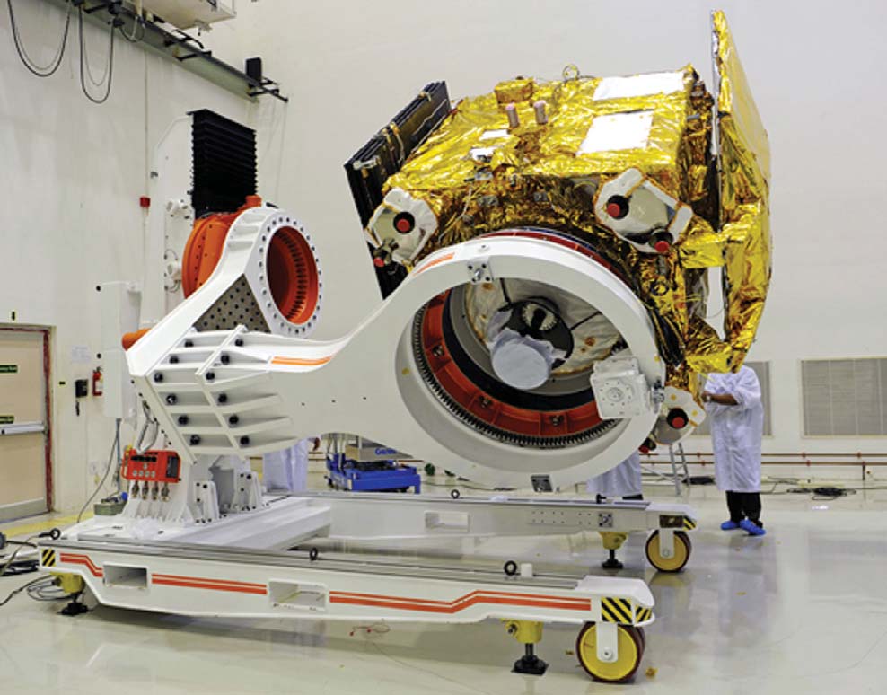
It is jointly developed by the Indian Space Research Organisation and the Airports Authority of India, at an investment of Rs 774 crore. Gagan works by augmenting and relaying data from GPS satellites with the help of two augmentation satellites and 15 earth-based reference stations. The process corrects any anomalies in the position data and gives accurate routes, landing guidance and time saving information to the pilots.
GAGAN will offer seamless navigation to the aviation industry. The benefits of GAGAN include improved efficiency, direct routes, increased fuel savings, approach with vertical guidance at runways, significant cost savings due to withdrawal of ground aids and reduced workload of flight crew and Air Traffic Controllers.
GAGAN will provide augmentation service for GPS over the country, from Bay of Bengal, South East Asia and Middle East expanding up to Africa.


Be the first to comment